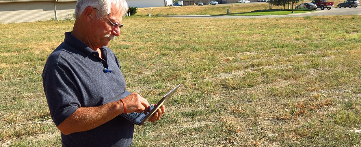
Your Android and Apple devices are equipped with a built-in GPS. This is why you can take advantage of MapItFast to turn your device into a powerful GPS mapping tool in combination with all the other things you can do on your handheld. However, not all devices are built the same and the GPS in your device may not function as you expect. To help you understand, we’ve put together some basic information about devices and GPS accuracy.
Some key points to remember are:
- MapItFast is not GPS software, it is mapping software. MapItFast simply uses the GPS signal it is provided when using the app to map points, lines and polygons. This may be based upon the internal GPS in the device or from a standalone GPS connected to the device via Bluetooth.
- The standalone GPS built into most smartphones and tablets today have an accuracy level of 3-5 meters (approx. 9-15 feet). This means that your location showing on your device should be within 0-15 feet of where you really are.
- Sub meter accuracy requires differential correction (techniques to improve GPS accuracy). Find out more about differential correction.
- aGPS, also known as assisted GPS, is used to improve startup performance of an internal GPS. It does this by capturing general location based on mobile towers or wi-fi. However, the general location provided by aGPS is not suitable for accurate point, line and polygon feature mapping.
- While using MapItFast, you can ensure GPS accuracy by changing GPS settings for position accuracy, minimum distance and minimum time. We suggest using the device recommended settings (or setting an alarm when GPS accuracy settings are exceeded) because no data can be collected when GPS criteria in these settings is not met.
- When mapping a polygon for an area measurement that is greater than 1 acre in size, 3-5 meter resolution is usually sufficient for calculating acreage within 0.1 acres. Logging multiple vertices while navigating around a boundary helps increase accuracy because of averaging.
Some GPS devices include access to the Russian Glonass satellite system. GPS units that include this system with the USA system are accessing more satellites and can typically provide accuracy in the 1-3 meter range.
Many things affect GPS accuracy and precision and some things such as working near building, in canyons, under trees, atmospheric factors, etc. cannot always be avoided. However, techniques such as pointing the GPS upward, maintain a clear view of the sky, not holding it next poles, trees, etc., and waiting for a good fix before you log are good practices.
GPS signal strength is measured in dBW (Decibel-watts). Today’s GPS are usually at the -155 to -160 dBW level. High sensitivity GPS receivers are able to integrate the incoming signals that are thousands of times weaker (i.e. down to −185 dBW; more negative equals a weaker signal). On standard devices, look for GPS with a sensitivity that is not greater than -165 dBW.
If the GPS in your device is not accurate enough for your field work, consider using a more accurate GPS device with Bluetooth connectivity. Devices such as the Garmin Glo cost around $100 and usually have better than 3 meter accuracy. Bluetooth GPS devices such as EOS Arrow GPS devices deliver sub-meter accuracy and integrate well with MapItFast.
Have more questions? Contact Us!
