Real World Success: AgTerra in Action
Featured Success Story
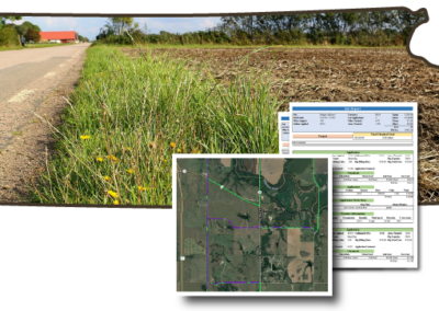
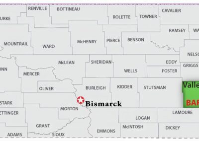
Discover how Ottawa County, Kansas utilizes digital mapping and reporting for liability protection and noxious weed investigation

Stories of Success


What Our Clients Say
“AgTerra’s tools have revolutionized our field data collection. The ease of use and accuracy have significantly improved our workflow.”
“With AgTerra’s solutions, we can now make informed decisions faster. The real-time data and comprehensive reports are game-changers.”
“The integration of GIS maps with our data collection has been seamless. AgTerra has truly enhanced our operational efficiency.”
Why AgTerra Changes the Game
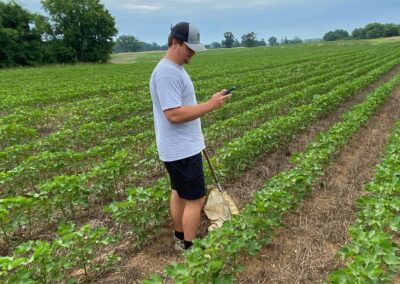
Our solutions are designed to enhance data collection, streamline record-keeping, and support decision-making in the field.
Real-Time Data Collection
Capture and access data instantly from any location, ensuring up-to-date information is always at your fingertips.
GIS Mapping Integration
Utilize advanced GIS mapping tools to visualize and analyze spatial data, improving operational insights.
Comprehensive Reporting
Generate detailed reports with ease, providing valuable insights that drive better business decisions.