SprayLogger
Less Desk Time, More Spray Time!
Track and manage pesticide applications with SprayLogger, the most advanced, yet easy to use, pesticide record keeping system available. Monitor spraying in real-time capturing essential details including GPS location, spray width, weather, and chemical usage and stay compliant with regulations. Use live mapping to view spray areas, generate automated reports with a few clicks, and export data to GIS systems. Whether using a large rig, ATV, UTV, or backpack sprayer, SprayLogger efficiently oversees operations, saving time and enhancing accuracy for professional application maps and reports.
See SprayLogger in Action
Watch our video to learn how SprayLogger delivers more spray time and less desk time.
Upgrade Your Spray Operations
Accurately Track, Report and Export Every Application
Real-Time Tracking
Monitor spray and no-spray operations on a live moving map.
Works Offline
Capture every spray detail with or without an internet connection.
Detailed Reports
Printable maps and reports are generated for every job.
Seamless GIS Export
Export any or all jobs to any GIS (shapefile or KMZ supported).
Custom Map Layers
Include custom map layers like parcel boundaries for detailed reference.
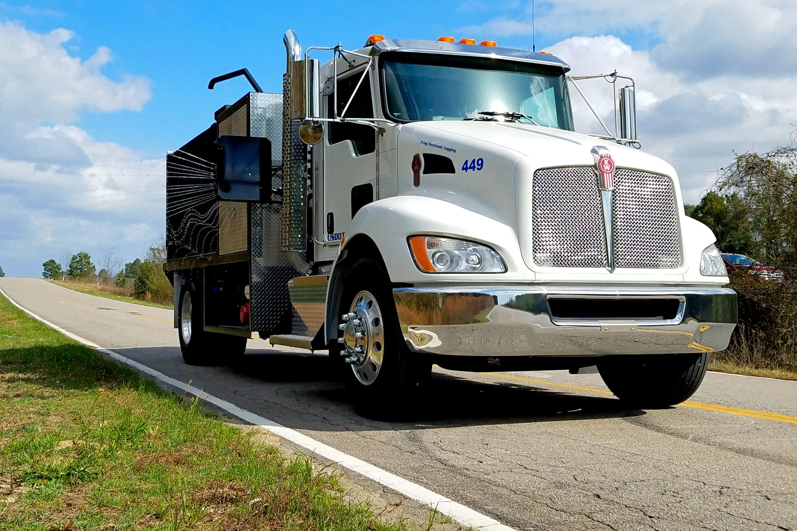
Any Spray Rig
SprayLogger units available for backpacks, drones, UTV, truck and rail.
Unmatched Features
- Every possible spray detail captured for detailed reports
- Automated weather records details from nearest station
- GIS export – to any shapefile or KMZ supported software
- ActionMapper loggers provide up to sub-meter resolution
- WFS services for real-time viewing in supported GIS software
- Cost reporting for internal use or invoicing
- Audible Spray alerts provide control to avoid no-spray areas
- Rapid job start —answer 5 questions or less to start a job
- Area & Distance calculations for spray and no-spray applications
- Built in maps including satellite, street and topo
- Custom layers to overlay other GIS data for reference
- Summary reports giving you details on any or all jobs
- Multiple applications tracked per job by one or more applicators
- Multiple spray sections show width and locations- up to 12 booms
- Multiple flow sensors accurately measure within 1% up to 4 tanks
- Secure, cloud-based access, storage, security, and backup
- Proven with over 13 years in the public and private sector
- Three year warranty for peace of mind
Any Spray Rig
Because not all spray jobs use the same equipment
“While there are other capable systems on the market, SprayLogger combines an extremely easy to use platform with powerful maps, reports and data I can actually use.”
Real Person Support
Our knowledgeable support staff is just a call or email away for help with setup, troubleshooting, or optimizing your spray tracking
Training and Workshops
Empower your team with expert-led training sessions tailored to your needs. Virtual and in-person training is available.
Technical Support
AgTerra offers prompt assistance from a real person during business hours, Monday through Friday. Reach out to our dedicated support team whenever you need help!
Online Support
Access our extensive online help library with detailed documents and videos 24 hours a day.
Consultation & Development Services
Your success is our priority. We assist you in fully leveraging and enhancing the mapping, spray tracking, and reporting capabilities of SprayLogger.

