Unlock the potential
Go to a Higher Level with our Resources
Develop
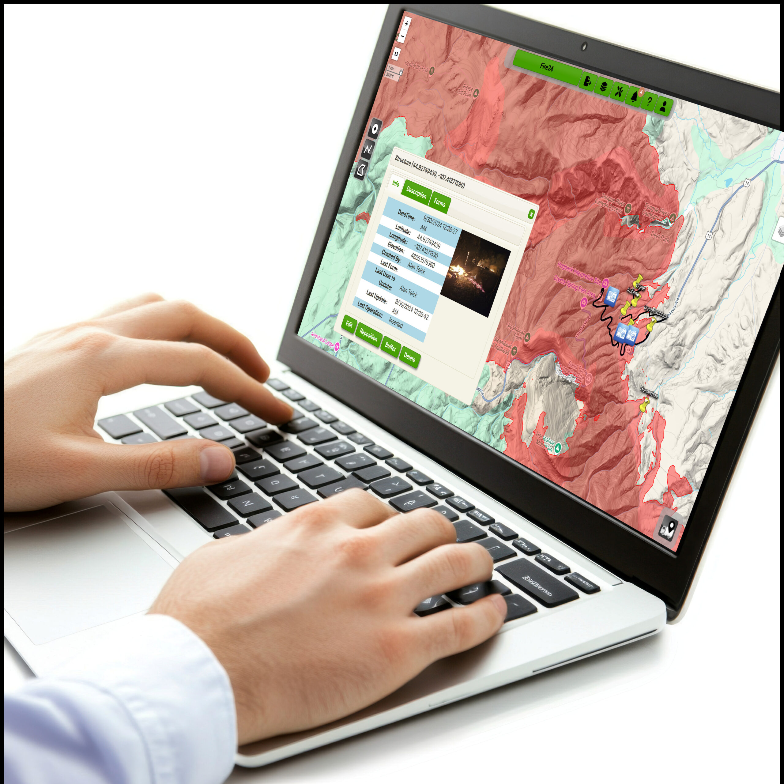
Tailor maps, forms and data portals to your specific needs.
Integrate
Harmonize data with your pre-existing GIS and database systems.
Secure
Securely control and manage your data online within your private cloud.
Available Resources and Integrations
Custom Forms and Reports
Generate smart form and maps unique to your operation, or let AgTerra help.

mapHIVE ™
Tailor your maps with layers that suit your specific needs and share with others.

Web Services
Use AgTerra’s web services including APIs and WFS to integrate seamlessly with your existing systems.

AgTrac ™
Integrate AgTerra’s products into web-based solution designed specifically toward your operations.
Our Professional Services

Tailored Maps and Smart Forms
Upload and use your own maps and smart forms or let AgTerra develop them for you.

Custom Software Development
Develop tailored software solutions to meet your unique operational requirements.

Training and Support
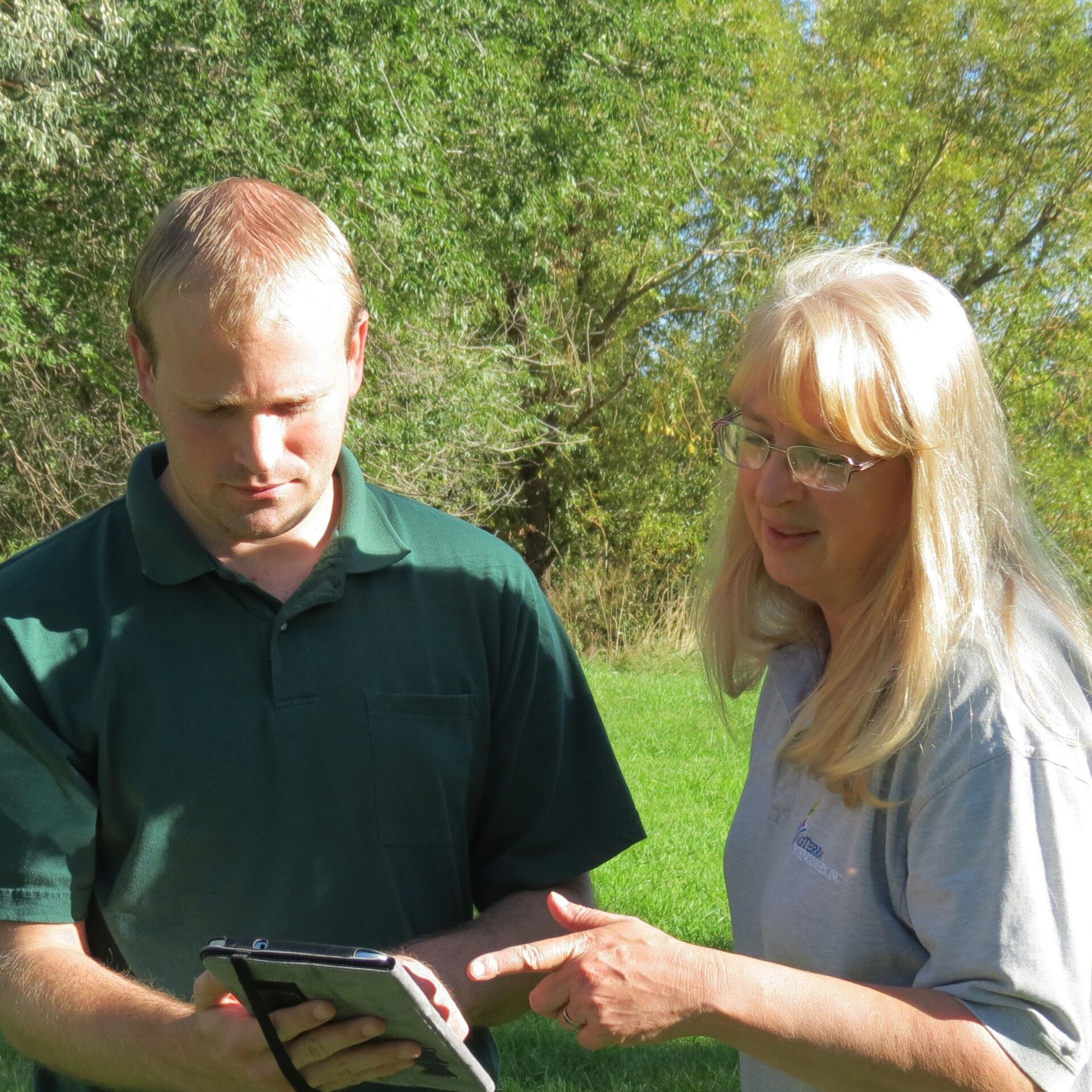
Receive comprehensive training and ongoing support to maximize your system’s potential.
What Our Clients Say
“AgTerra Technologies has transformed our data collection process. Their solutions are intuitive and have significantly improved our field efficiency.”
“MapItFast is a tremendous help identifying infested tree locations. Managing the maps and data from all the contractors is easy and convenient. We accomplished all of this at a fraction of the cost of other systems.”
“AgTerra’s systems are essential to help our customers meet the planning, reporting, and decision-making requirements for their vegetation management needs. “
“We’ve found AgTerra to be exceptional to work with. They have good people, they’re responsive to our needs, and they adapt their technology to what we need.”
“The flexibility of a general mapping and data collection system like MapItFast with Strider Forms means there is no limit to the business challenges that can be solved.”
“We’ve been really happy with AgTerra and their customer service …I don’t have anything but good things to say about their customer service.”
