COLLECT BETTER DATA
Transform your operations with digital maps, intelligent forms, and advanced data logging hardware
Collecting data in the field ensures the highest accuracy. AgTerra Technologies provides the software and hardware tools needed to enhance efficiency, accuracy, and decision-making for agribusinesses and natural resource professionals through real-time data collection, GIS mapping, and comprehensive reporting.
Our Products
MapItFast
One tap to map, share field data instantly.
Strider
Create, manage, and share forms and reports.
ActionMapper
Automatically capture equipment operations
SprayLogger
Log, map, and manage pesticide applications.
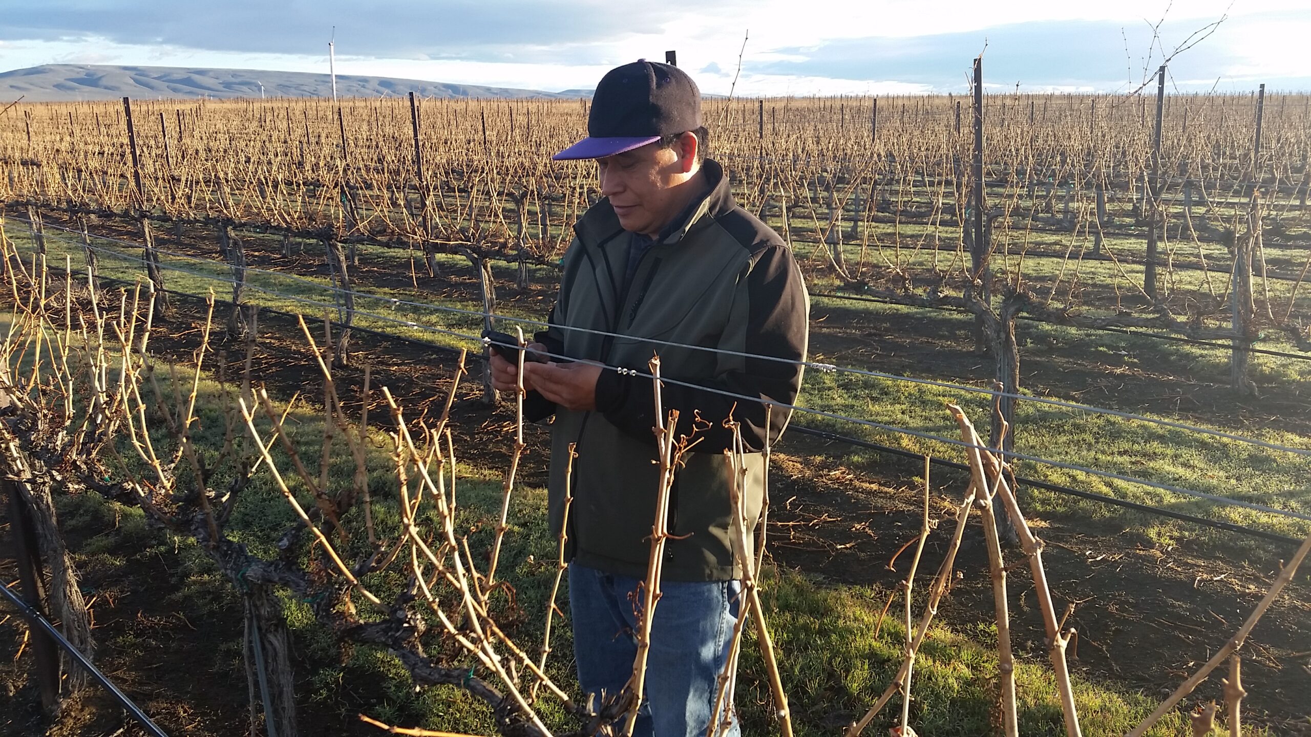
Optimize GIS Data Collection
Looking to simplify the way you collect GIS data? Eliminate the learning curve. Instead, use your smartphone or iPad to gather points, lines, polygons and geophotos, from wherever you are. MapItFast is your go-to tool for seamless mobile and web-based mapping and the perfect tool for fieldworkers needing to efficiently collect, manage, and share data.
Mobile Mapping Software
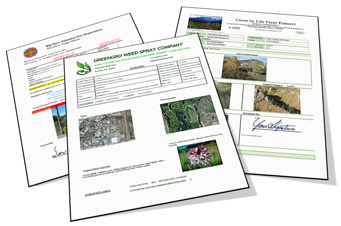
Electronic Forms, Printable Reports
Use Smart Forms for Efficiency
Strider works in combination with MapItFast to replace paper forms with customizable mobile forms for smartphones, tablets, and desktops. Streamline your workflows and capture data in real-time using features like automatic calculations, photo uploads, and GPS tracking. Strider integrates with your existing databases, helping you reduce errors and boost efficiency.
Automate Operations Tracking
AgTerra’s ActionMapper delivers an all-in-one solution for mapping and tracking field equipment tasks—from spraying, mowing, and seeding to harvesting—via an interactive map. Log each job seamlessly with integrated GPS features and automatically record pesticide applications using built-in SprayLogger data logging, boosting efficiency and compliance in your operation.
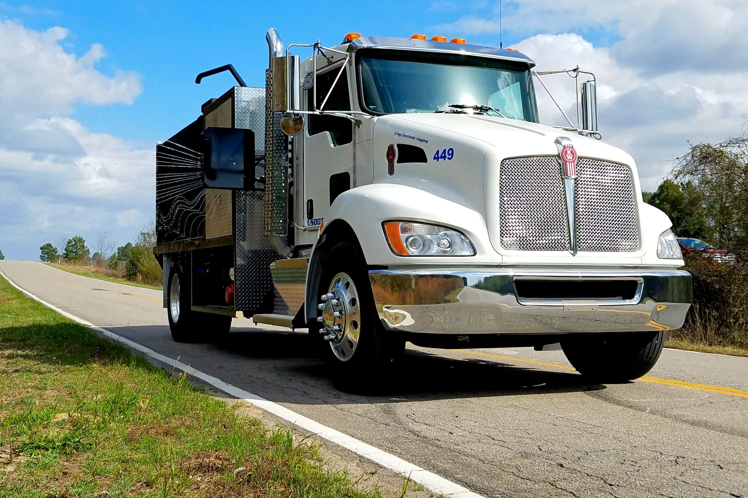
Robust Data Logging Hardware
Why AgTerra?
By choosing AgTerra, you are investing in tools that optimize your operations and ensure you have the most accurate and reliable data at your fingertips for informed decisions. Since 2003, AgTerra Technologies stands out as a leader providing innovative solutions for data collection. The software and hardware we build are easy to use and specifically designed to help agribusinesses and natural resource professionals gather and share data even while working in remote areas. With a single tap map your fields, fill smart forms to speed up attribution, use geofences to alert workers, capture information from equipment sensors, and centralize everything in your private cloud account. We can help you do all of that.
What I consider one of MapItFast’s greatest features is the ability that I have to see data in our projects from my employees as soon as the forms are synced online.